Starlink prices checked Tracker updated

Independent · not affiliated with SpaceX, Starlink or Amazon

Starlink vs LeoBuy or wait?

About this site

Image credits and licenses

Every photograph and render on this site, who made it, and the license that lets us use it. We don't use company logos, product renders or press photos, and a stock photo is never presented as anyone's home.
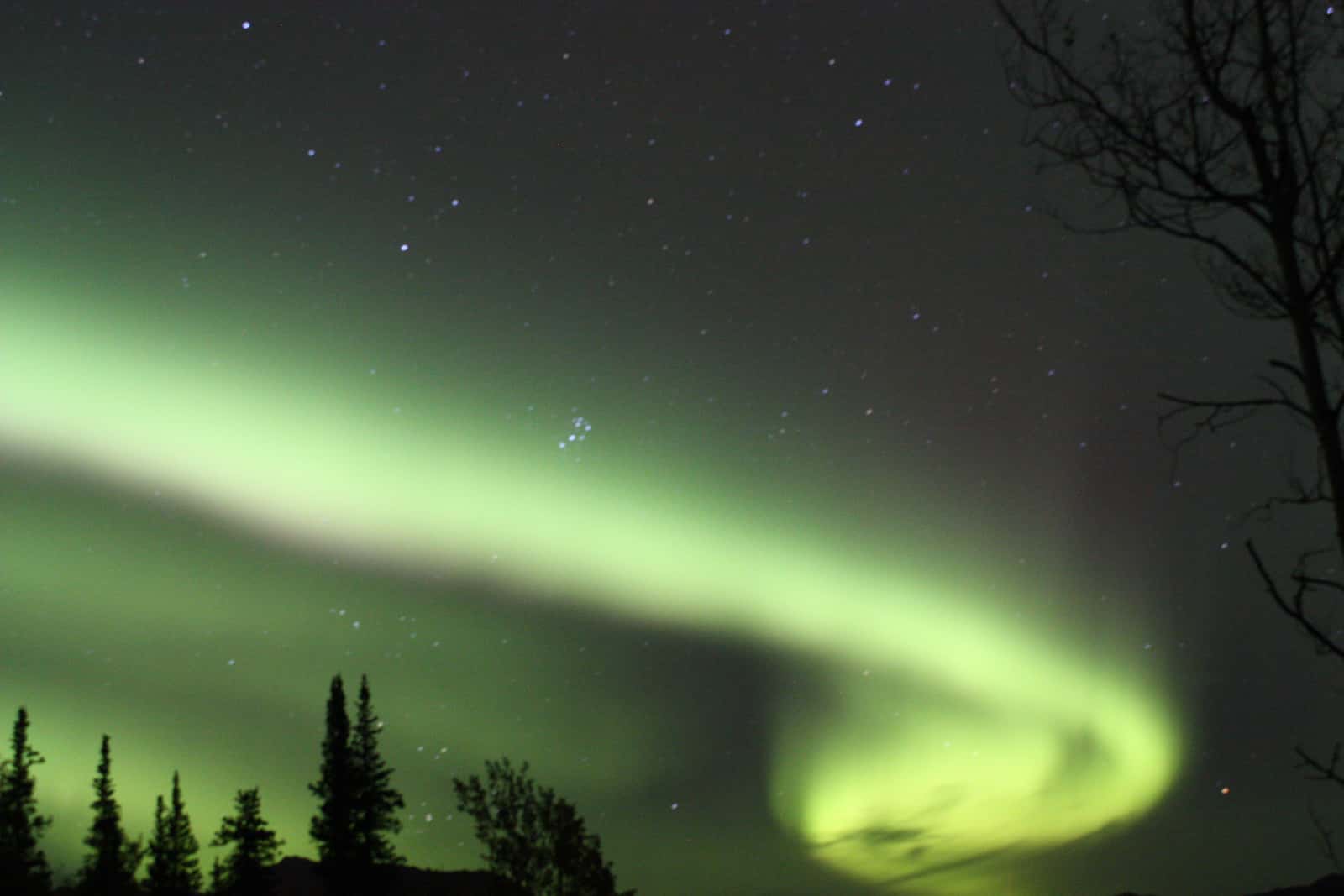
  1. Bright green aurora curling into a swirl across a starry sky above silhouetted spruce trees

    Photograph

    Bright green aurora curling into a swirl across a starry sky above silhouetted spruce trees
    Credit
    Photo: Robbie Hannawacker / National Park Service (public domain)
    Creator
    NPS Photo / Robbie Hannawacker
    Source
    nps.gov
    Master
    3200 × 2133 px, plus a phone crop made by us
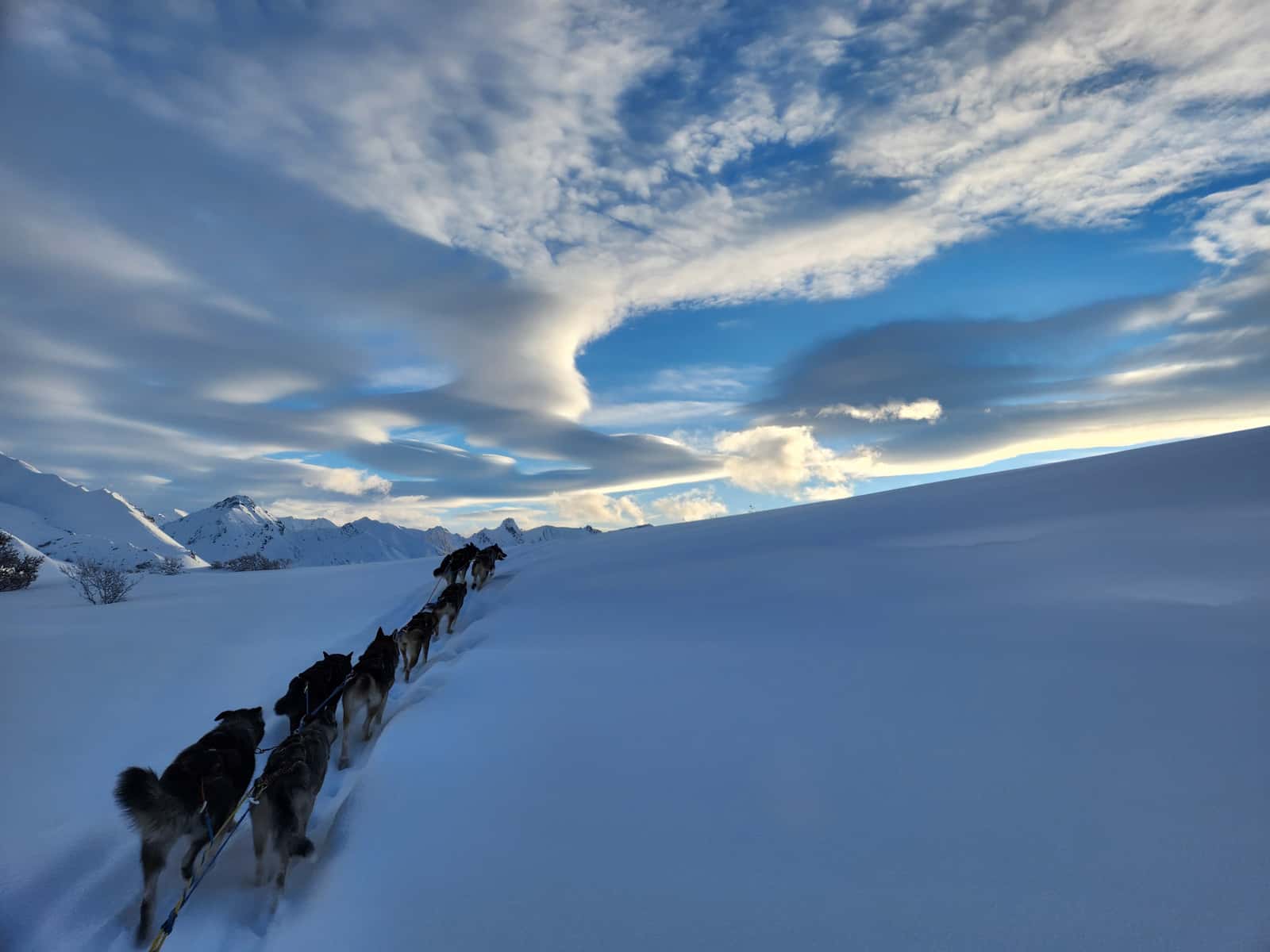
  2. Sled-dog team climbing a snowy slope toward white peaks under a wide sky of swirling clouds

    Photograph

    Sled-dog team climbing a snowy slope toward white peaks under a wide sky of swirling clouds
    Credit
    Photo: Lida Wise / National Park Service (public domain)
    Creator
    NPS Photo / Lida Wise
    Source
    nps.gov
    Master
    3200 × 2400 px, plus a phone crop made by us
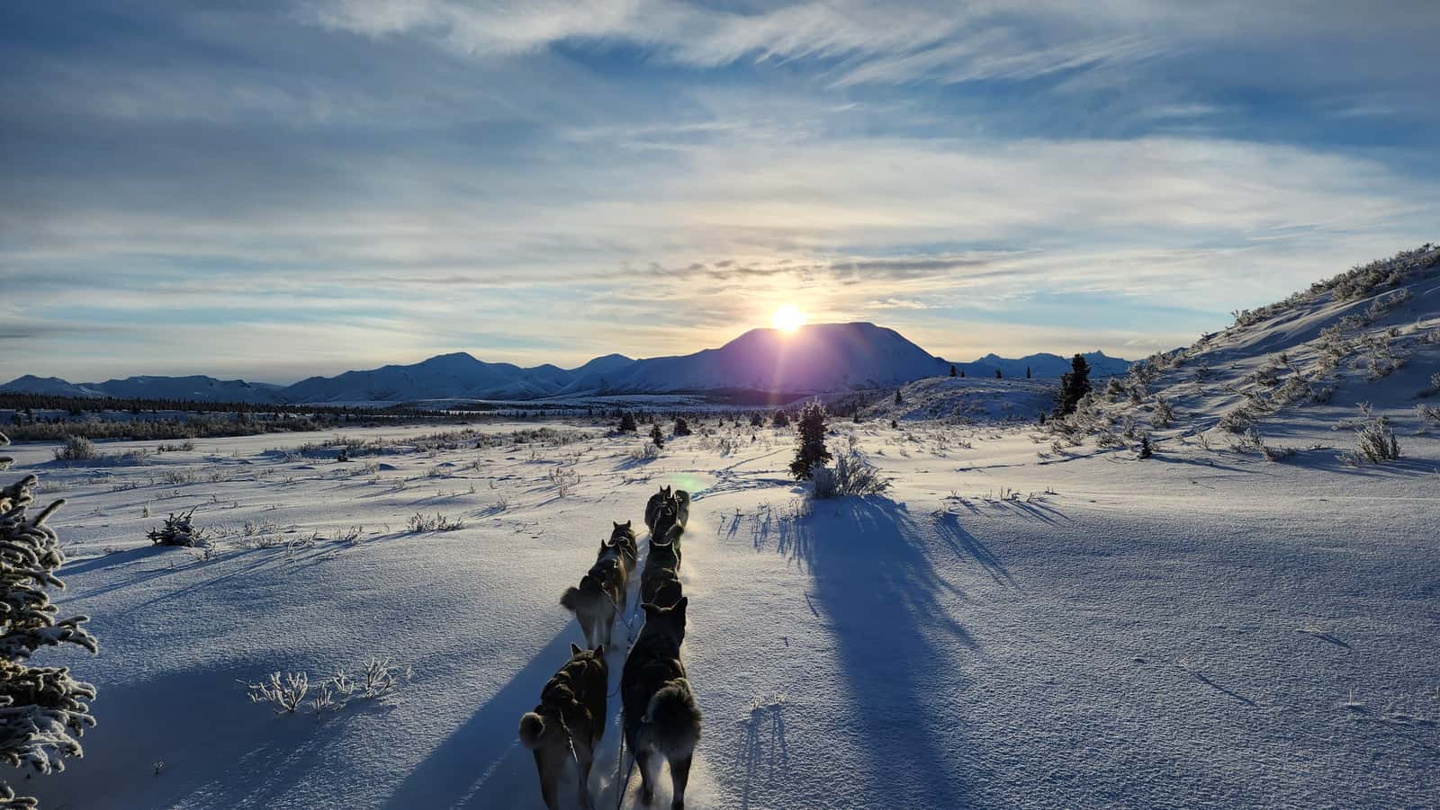
  3. Dog team running across a snowy plain toward a low winter sun setting over a snow-covered mountain
    Photograph

    Dog team running across a snowy plain toward a low winter sun setting over a snow-covered mountain

    Credit
    Photo: Lida Wise / National Park Service (public domain)
    Creator
    NPS Photo / Lida Wise
    Source
    nps.gov
    Master
    3200 × 1802 px, plus a phone crop made by us
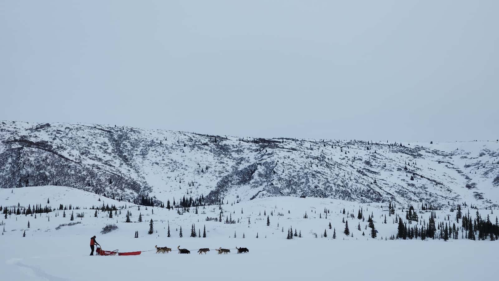
  4. Small dog team and musher crossing a flat snowy plain below a long white ridge under a pale overcast sky
    Photograph

    Small dog team and musher crossing a flat snowy plain below a long white ridge under a pale overcast sky

    Credit
    Photo: Lida Wise / National Park Service (public domain)
    Creator
    NPS Photo / Lida Wise
    Source
    nps.gov
    Master
    3200 × 1802 px, plus a phone crop made by us
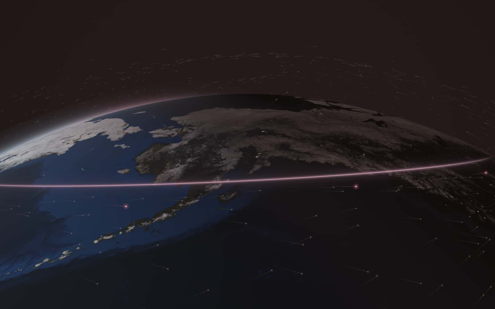
  5. Oblique view from high above the North Pacific looking north at Alaska at dusk. The west is still lit by a low sun, the east is in twilight with a few city lights. A thin glowing rose line runs east-west across southern Alaska. Stone-colored points (Starlink) fill the sky over all of Alaska and the Arctic; rose points (Amazon Leo) stay over the Pacific, south of the line.

    Render

    Computed positions of 11,112 Starlink and 391 Amazon Leo satellites at 02:15 UTC on October 26, 2026, from CelesTrak orbital elements. Earth imagery: NASA Blue Marble and Black Marble (public domain).
    Credit
    Render: Starlink vs Leo from CelesTrak data; Earth imagery NASA (public domain)
    Creator
    Starlink vs Leo (render from CelesTrak orbital elements; Earth imagery NASA)
    Master
    2400 × 1500 px
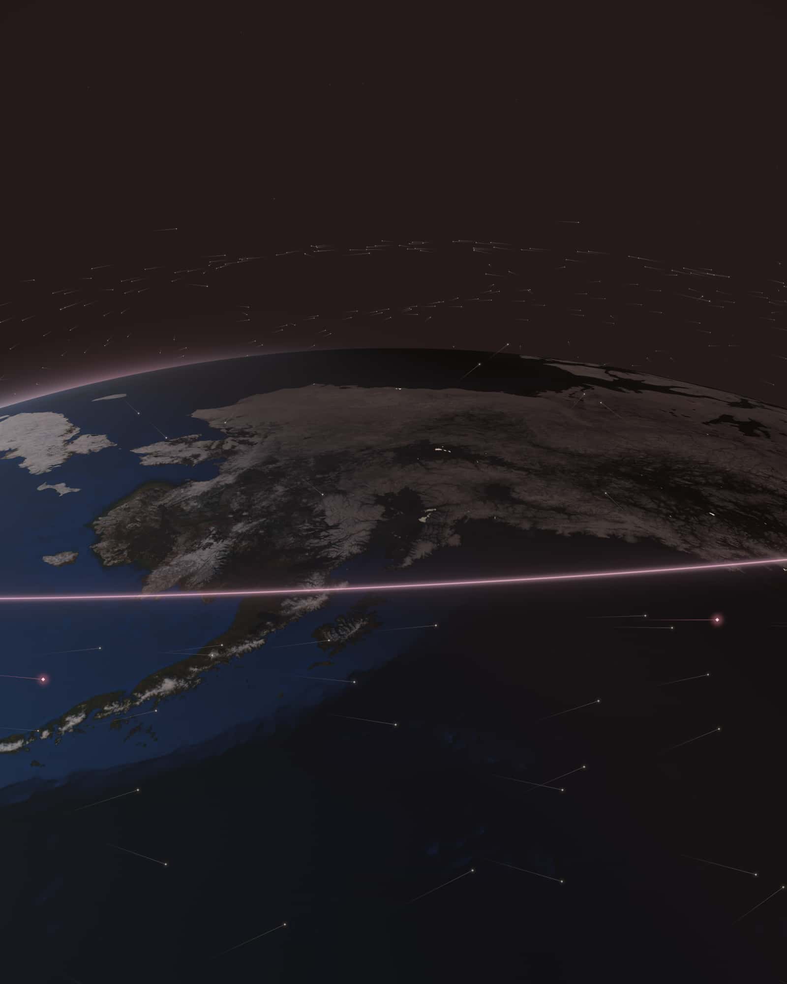
  6. Oblique view from high above the North Pacific looking north at Alaska at dusk. The west is still lit by a low sun, the east is in twilight with a few city lights. A thin glowing rose line runs east-west across southern Alaska. Stone-colored points (Starlink) fill the sky over all of Alaska and the Arctic; rose points (Amazon Leo) stay over the Pacific, south of the line.

    Render

    Computed positions of 11,112 Starlink and 391 Amazon Leo satellites at 02:15 UTC on October 26, 2026, from CelesTrak orbital elements. Earth imagery: NASA Blue Marble and Black Marble (public domain).
    Credit
    Render: Starlink vs Leo from CelesTrak data; Earth imagery NASA (public domain)
    Creator
    Starlink vs Leo (render from CelesTrak orbital elements; Earth imagery NASA)
    Master
    1600 × 2000 px
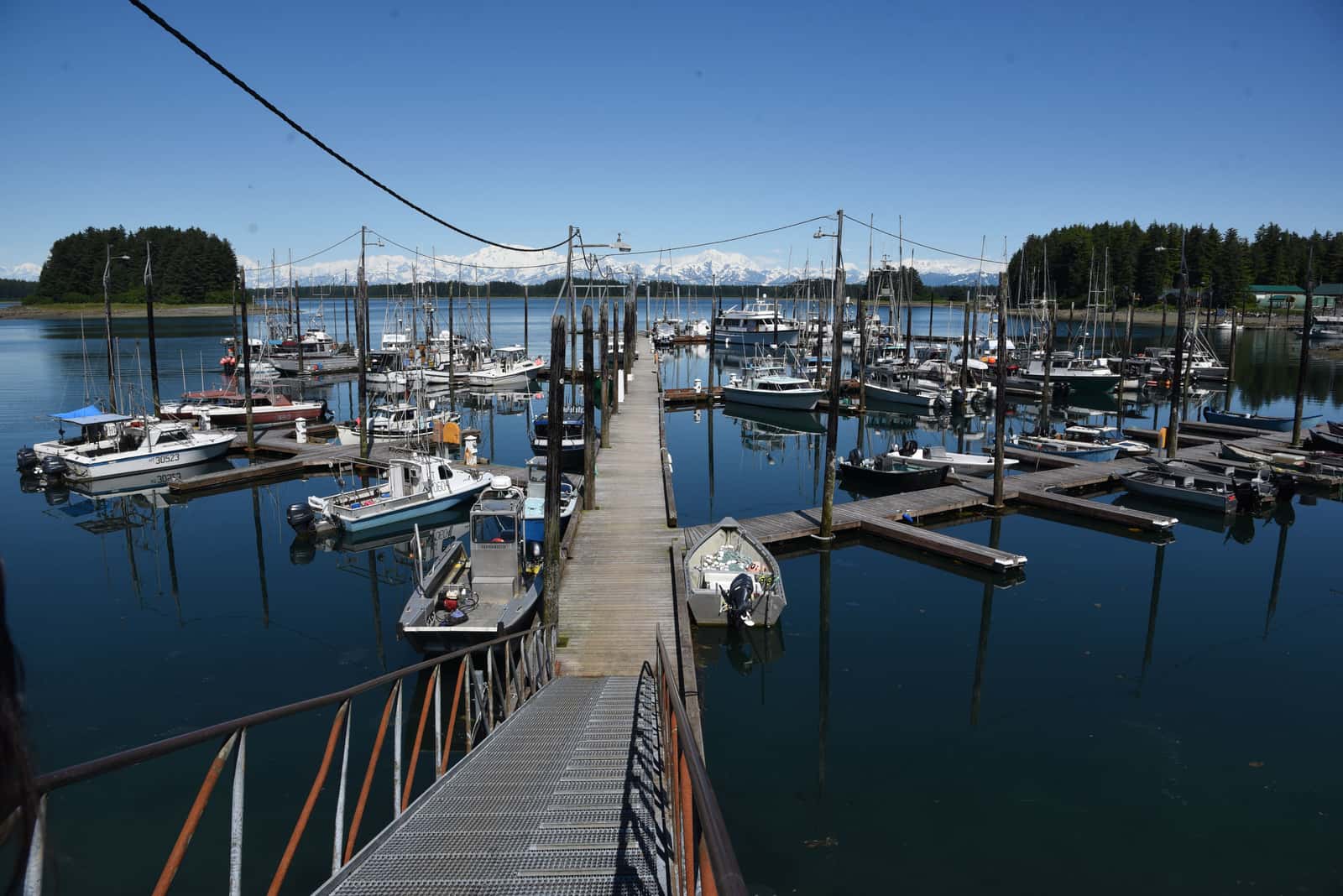
  7. Walkway into a small-town boat harbor of fishing boats on calm water, spruce islands and snowy peaks beyond
    Photograph

    Walkway into a small-town boat harbor of fishing boats on calm water, spruce islands and snowy peaks beyond

    Credit
    Photo: NPS/Christina Miller / National Park Service (public domain)
    Creator
    NPS/Christina Miller
    Source
    nps.gov
    Master
    3200 × 2136 px, plus a phone crop made by us
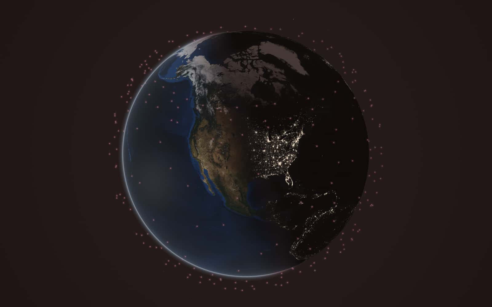
  8. Earth centred on North America at dusk with a sparse scatter of a few hundred rose points, all between about 52 degrees north and south: every tracked Amazon Leo satellite.

    Render

    Computed positions of 391 Amazon Leo satellites at 23:30 UTC on October 25, 2026, from CelesTrak orbital elements. Earth imagery: NASA Blue Marble and Black Marble (public domain).
    Credit
    Render: Starlink vs Leo from CelesTrak data; Earth imagery NASA (public domain)
    Creator
    Starlink vs Leo (render from CelesTrak orbital elements; Earth imagery NASA)
    Master
    2400 × 1500 px
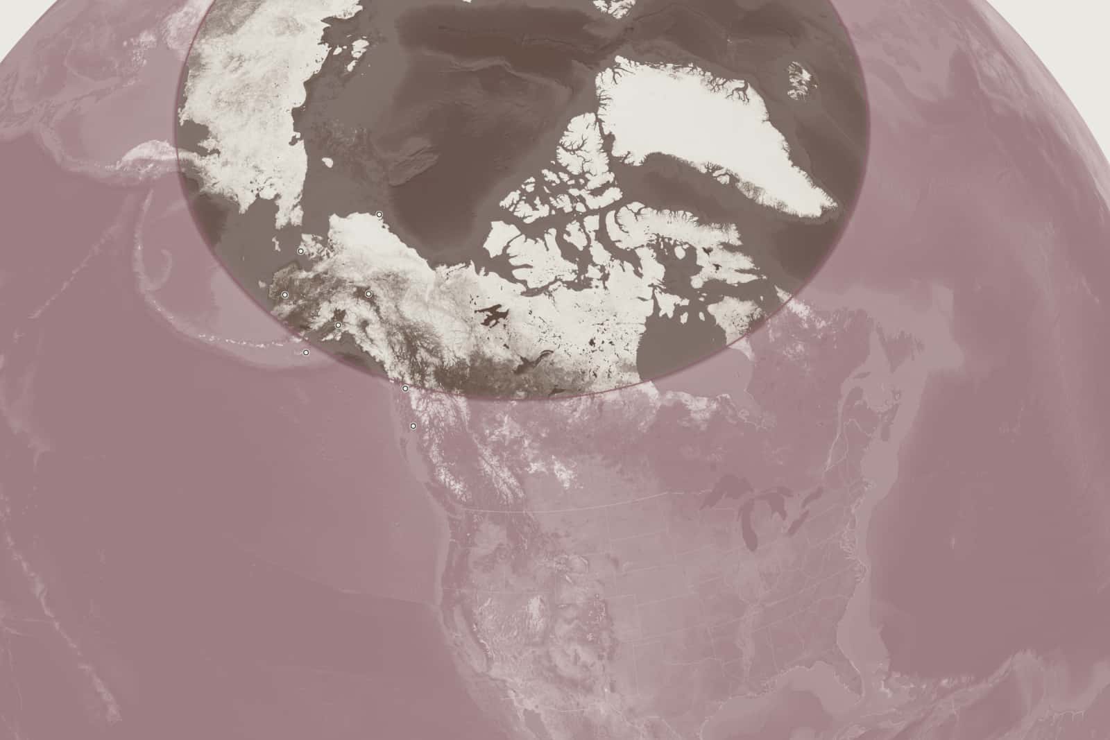
  9. Map of North America seen from space, shaded in two tones. Everything south of a thin dark rose line at about 58.7 degrees north is tinted rose; north of the line, up to the North Pole, the map is taupe and bone. The line crosses southern Alaska just north of Juneau and Kodiak and runs on across northern Canada. Eight small dots mark Alaska towns; five of them, including Anchorage, Fairbanks and Utqiagvik, are north of the line.

    Render

    Northernmost latitude each network's satellites in operational orbits can serve as of 23:30 UTC on October 25, 2026: Amazon Leo to 58.7 deg N (51.9 deg shell at about 630 km, 35 deg minimum elevation in Amazon's FCC filings); Starlink to the North Pole (97.3 deg shell). Computed from CelesTrak orbital elements; geometric reach only, not a service map. Earth imagery: NASA Blue Marble (public domain); borders: Natural Earth.

    Credit
    Render: Starlink vs Leo from CelesTrak data; Earth imagery NASA (public domain)
    Creator
    Starlink vs Leo (render from CelesTrak orbital elements; Earth imagery NASA)
    Master
    2400 × 1600 px
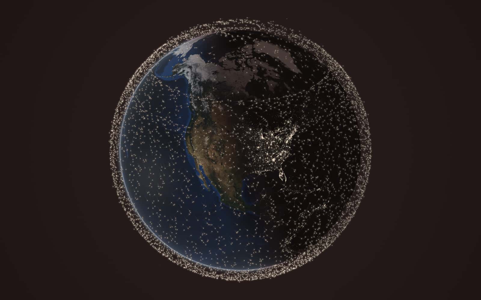
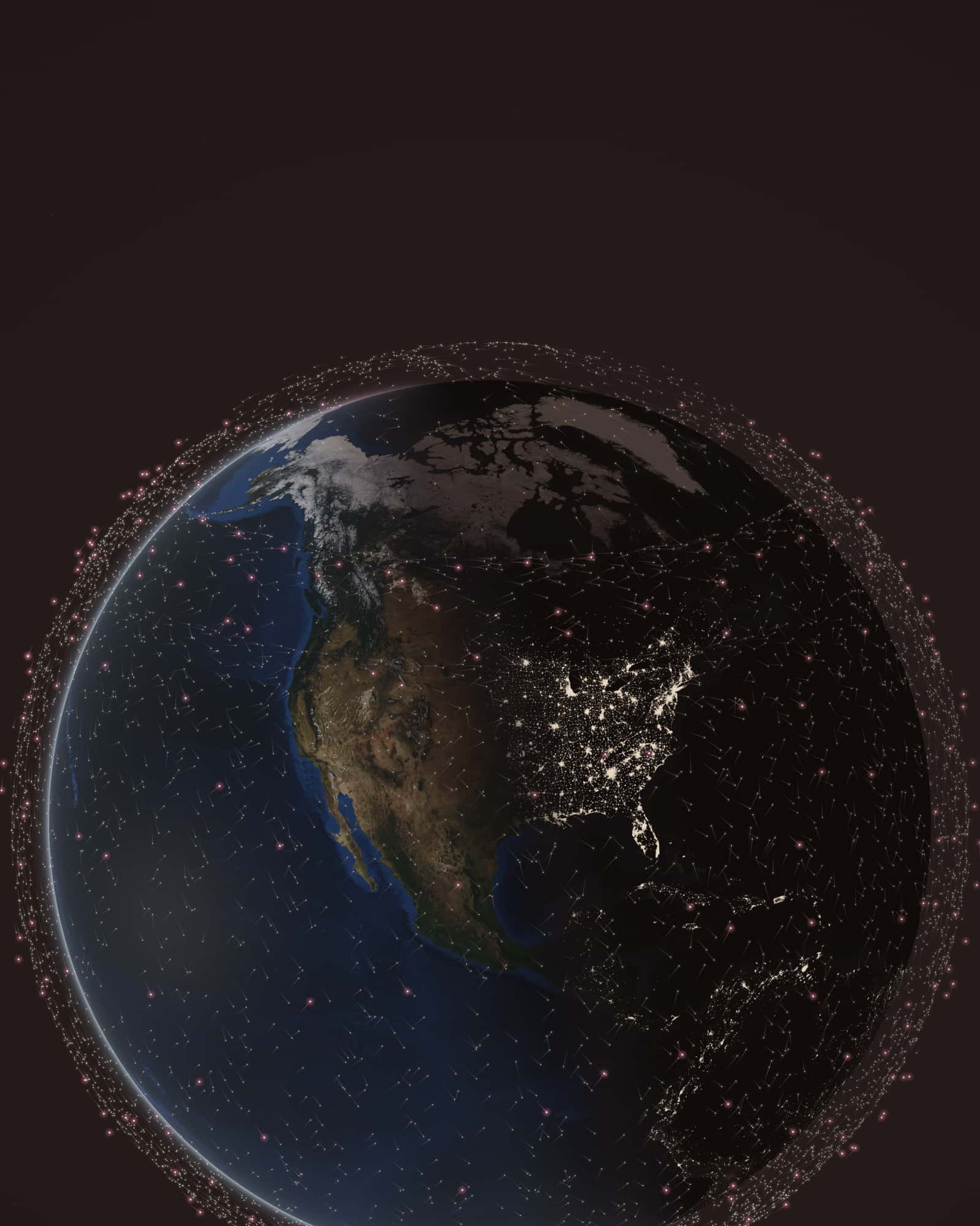
  10. Earth seen from space, centred on North America at dusk, with thousands of stone-colored points and a few hundred rose points around it.

    Render

    Computed positions of 11,112 Starlink and 391 Amazon Leo satellites at 23:30 UTC on October 25, 2026, from CelesTrak orbital elements. Earth imagery: NASA Blue Marble and Black Marble (public domain).
    Credit
    Render: Starlink vs Leo from CelesTrak data; Earth imagery NASA (public domain)
    Creator
    Starlink vs Leo (render from CelesTrak orbital elements; Earth imagery NASA)
    Master
    1600 × 1600 px
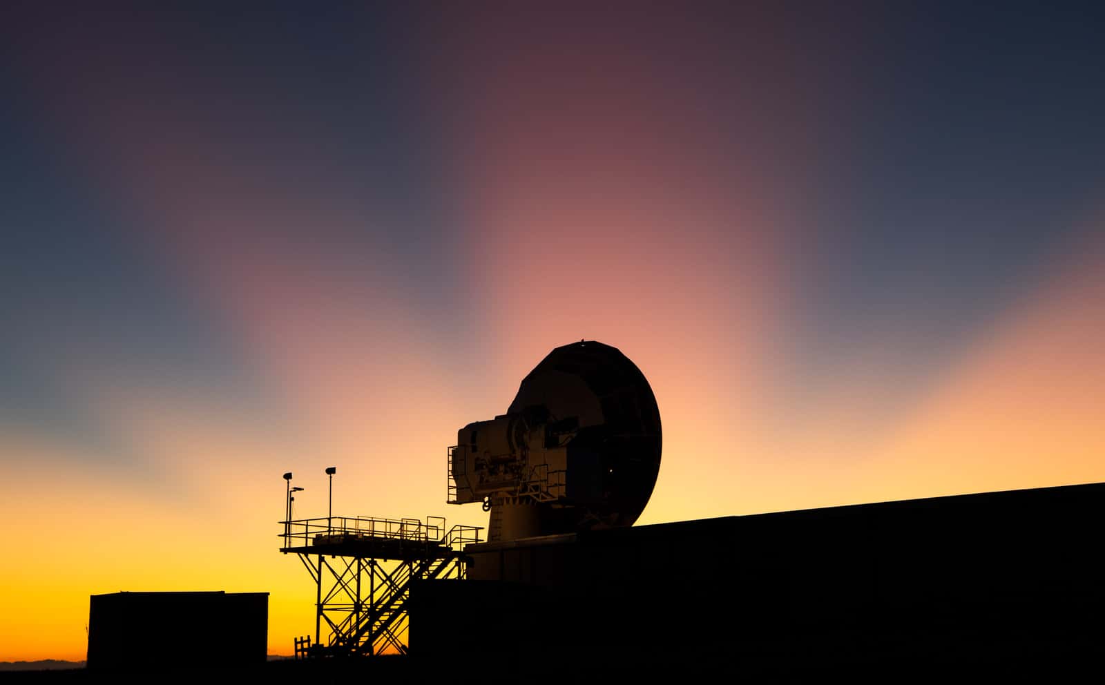
  11. Silhouette of a large tracking antenna dish and steel stairway against an orange and pink sunset sky

    Photograph

    A NASA tracking and communications antenna at Wallops Flight Facility, Virginia, November 2019. It is not Amazon Leo equipment.

    Credit
    Photo: NASA / Bill Ingalls (public domain)
    Creator
    NASA/Bill Ingalls
    Master
    3200 × 1984 px, plus a phone crop made by us
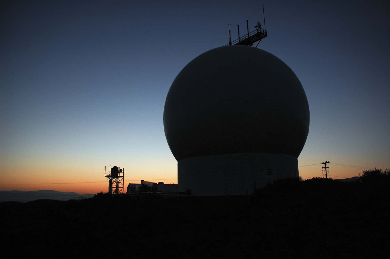
  12. Silhouetted radar dome and antenna towers on a ridge against a blue and orange dawn sky

    Photograph

    Launch tracking antennas at Vandenberg Air Force Base, California, February 2013. They are not Amazon Leo equipment.

    Credit
    Photo: NASA / Ben Smegelsky (public domain)
    Creator
    NASA/Ben Smegelsky
    Master
    3000 × 1995 px, plus a phone crop made by us
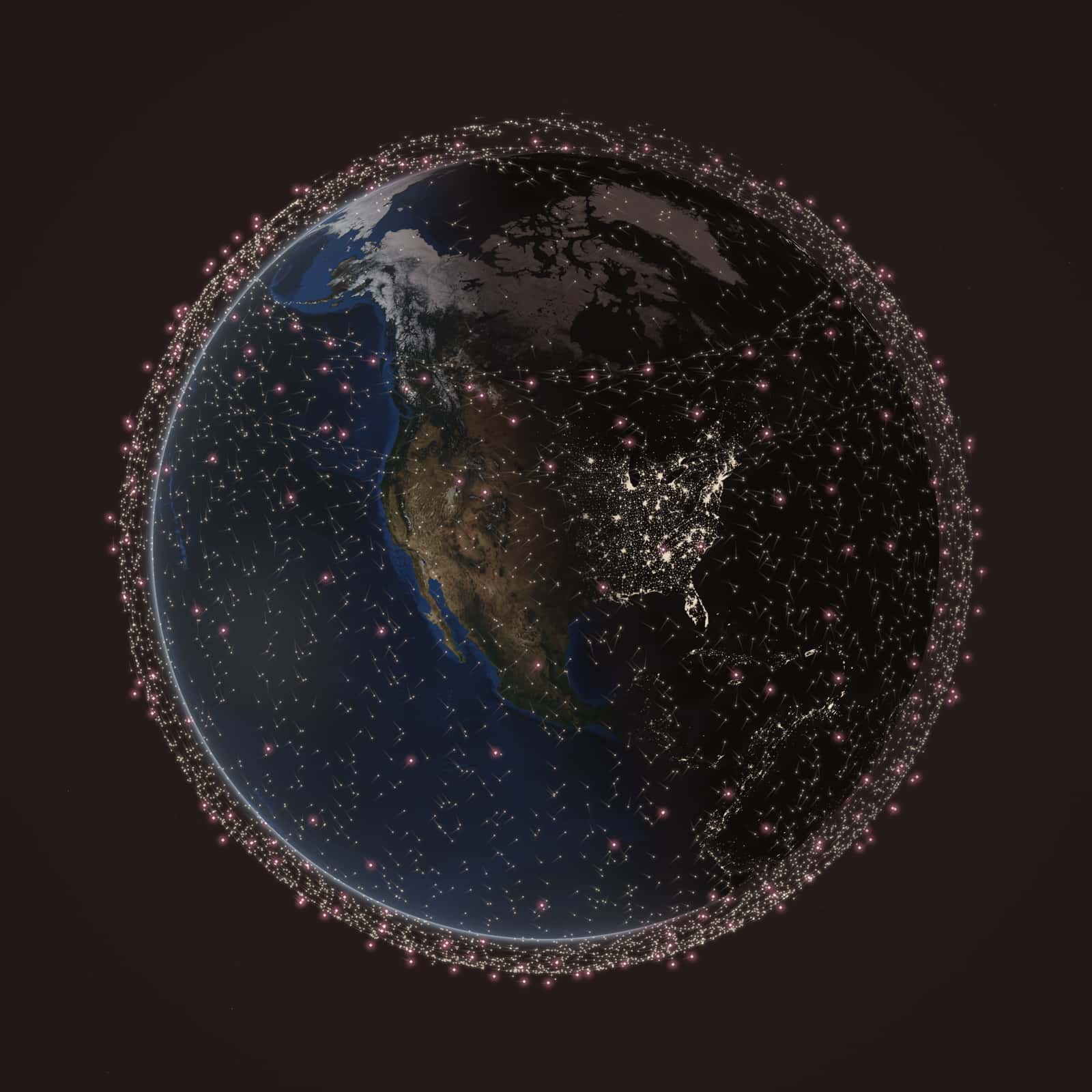
  13. Photo-like view of Earth with North America in the centre at dusk. The western US and Pacific are in late daylight, the eastern US is dark with city lights. Thousands of tiny stone-colored points (Starlink) and a few hundred rose points (Amazon Leo) surround the globe.

    Render

    Computed positions of 11,112 Starlink and 391 Amazon Leo satellites at 23:30 UTC on October 25, 2026, from CelesTrak orbital elements. Earth imagery: NASA Blue Marble and Black Marble (public domain).
    Credit
    Render: Starlink vs Leo from CelesTrak data; Earth imagery NASA (public domain)
    Creator
    Starlink vs Leo (render from CelesTrak orbital elements; Earth imagery NASA)
    Master
    3200 × 1800 px
  14. Photo-like view of Earth with North America in the centre at dusk. The western US and Pacific are in late daylight, the eastern US is dark with city lights. Thousands of tiny stone-colored points (Starlink) and a few hundred rose points (Amazon Leo) surround the globe.

    Render

    Computed positions of 11,112 Starlink and 391 Amazon Leo satellites at 23:30 UTC on October 25, 2026, from CelesTrak orbital elements. Earth imagery: NASA Blue Marble and Black Marble (public domain).
    Credit
    Render: Starlink vs Leo from CelesTrak data; Earth imagery NASA (public domain)
    Creator
    Starlink vs Leo (render from CelesTrak orbital elements; Earth imagery NASA)
    Master
    1600 × 2000 px
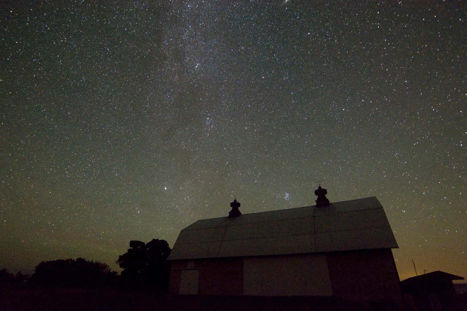
  15. Farm barn in silhouette under a dense starry night sky with the faint Milky Way above

    Photograph

    Farm barn in silhouette under a dense starry night sky with the faint Milky Way above

    Credit
    Photo: NPS Photo / National Park Service (public domain)
    Creator
    NPS Photo
    Source
    nps.gov
    Master
    2880 × 1920 px, plus a phone crop made by us
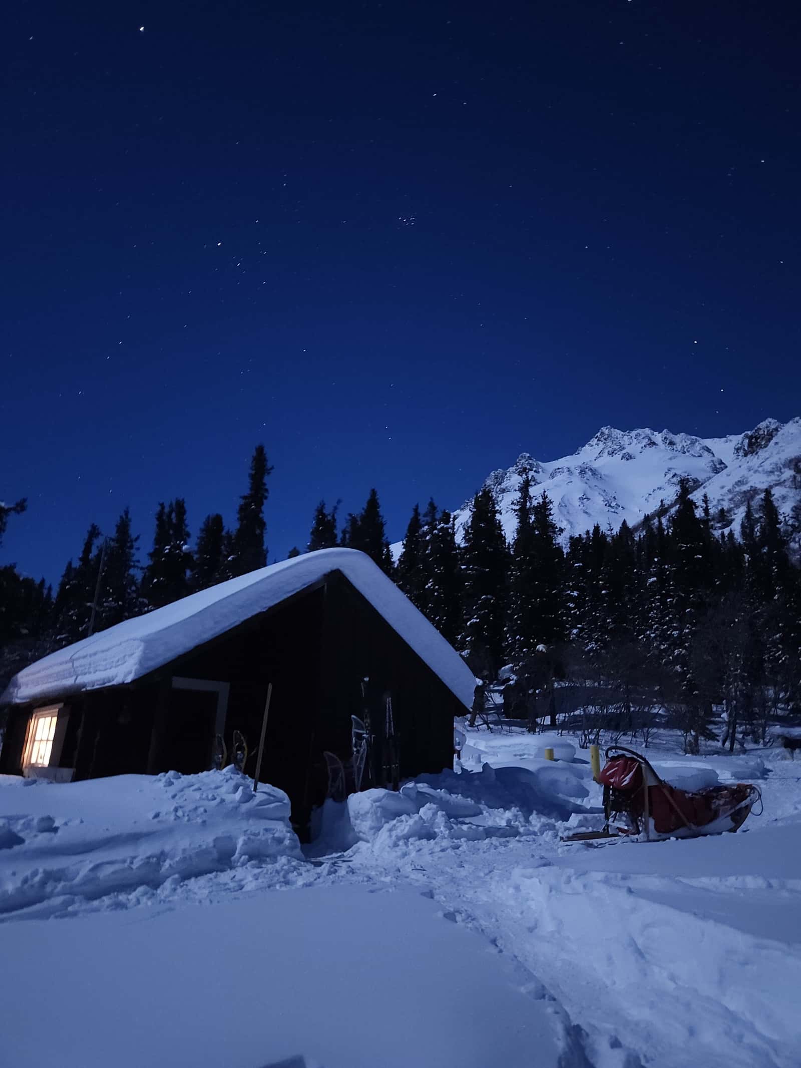
  16. Snow-covered log cabin with one warmly lit window under a starry deep-blue night sky, snowy peak behind

    Photograph

    Snow-covered log cabin with one warmly lit window under a starry deep-blue night sky, snowy peak behind

    Credit
    Photo: Lida Wise / National Park Service (public domain)
    Creator
    NPS Photo / Lida Wise
    Source
    nps.gov
    Master
    2400 × 3200 px
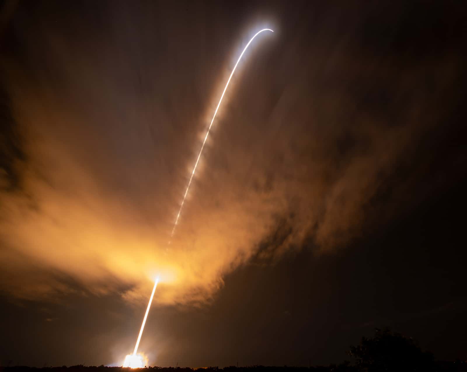
  17. Long-exposure streak of a night rocket launch arcing up through clouds lit amber by its exhaust

    Photograph

    A Delta IV Heavy launching NASA's Parker Solar Probe from Cape Canaveral, August 12, 2018. It is not an Amazon Leo launch.

    Credit
    Photo: NASA / Bill Ingalls (public domain)
    Creator
    NASA/Bill Ingalls
    Master
    3200 × 2548 px, plus a phone crop made by us
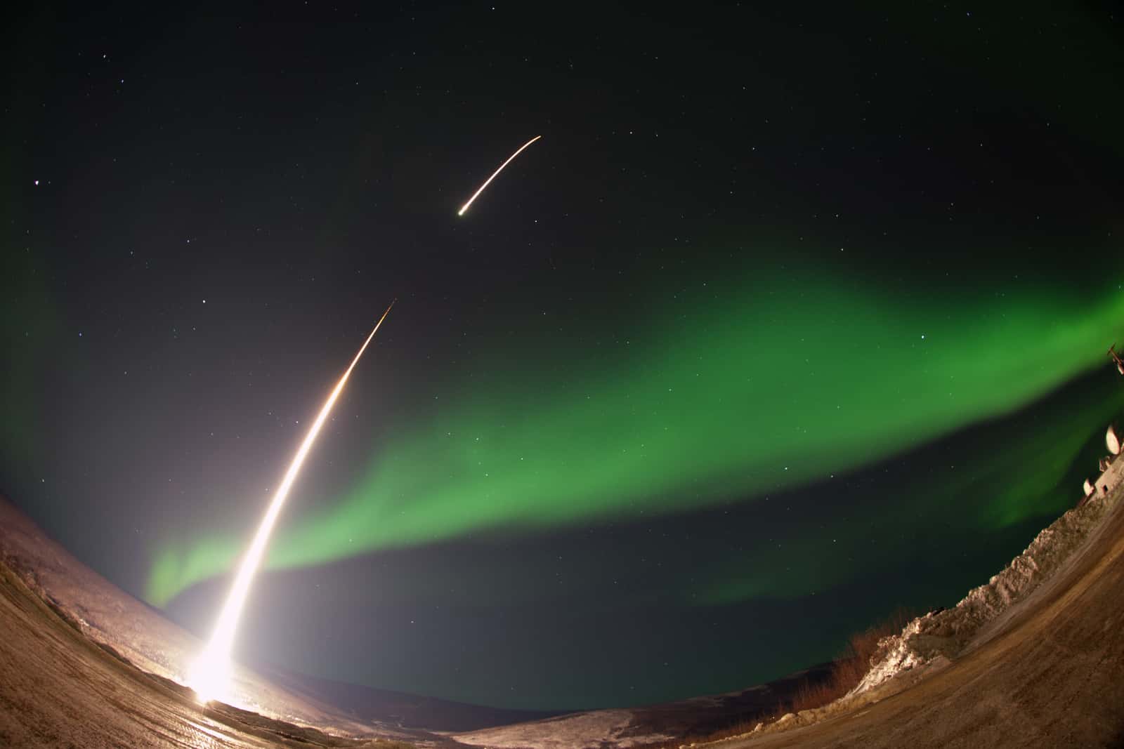
  18. Fisheye long exposure of a small rocket's fiery arc climbing into a wide green aurora above frosted ground

    Photograph

    Fisheye long exposure of a small rocket's fiery arc climbing into a wide green aurora above frosted ground

    Credit
    Photo: NASA / Christopher Perry (public domain)
    Creator
    NASA/Christopher Perry
    Master
    3200 × 2133 px, plus a phone crop made by us
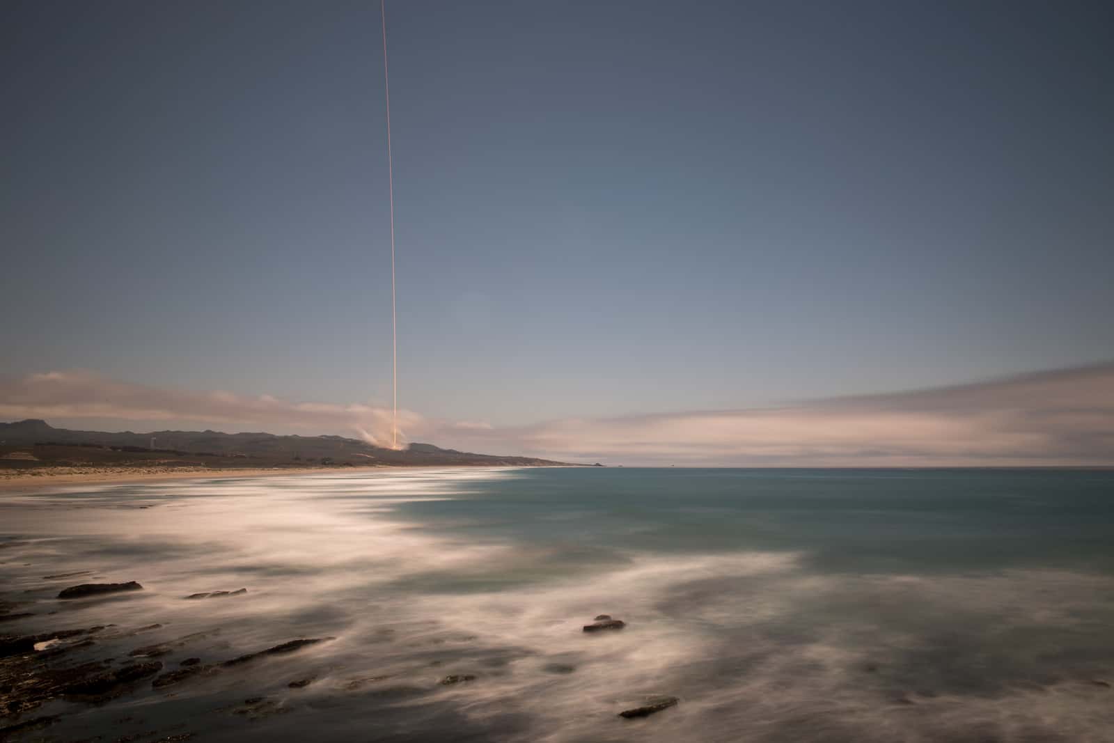
  19. Thin streak of a distant rocket launch rising above a moonlit Pacific shoreline in a long exposure

    Photograph

    A Falcon 9 launching NASA's GRACE Follow-On mission from Vandenberg, California, May 22, 2018.

    Credit
    Photo: NASA / Bill Ingalls (public domain)
    Creator
    NASA/Bill Ingalls
    Master
    3200 × 2133 px, plus a phone crop made by us
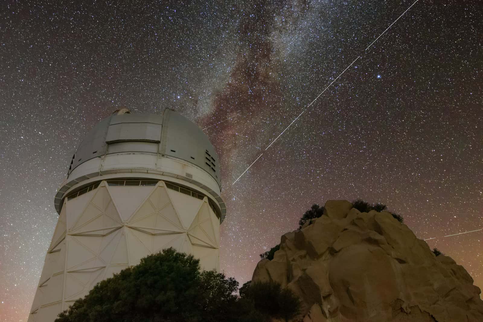
  20. Dashed satellite trail cutting across the Milky Way beside a large white observatory dome and sandstone rocks

    Photograph

    Trail left by the BlueWalker 3 satellite over Kitt Peak National Observatory, Arizona.

    Credit
    Photo: KPNO/NOIRLab/IAU/SKAO/NSF/AURA/R. Sparks (CC BY 4.0)
    Creator
    KPNO/NOIRLab/IAU/SKAO/NSF/AURA/R. Sparks
    License
    CC BY 4.0
    Master
    3200 × 2133 px, plus a phone crop made by us
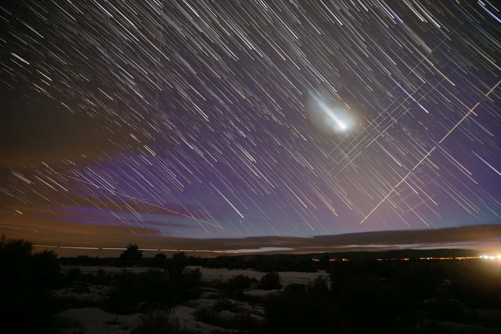
  21. Star trails crossed by straight satellite trails above snowy sagebrush at night, a bright planet glowing through cloud

    Photograph

    Venus and trails left by Starlink satellites.

    Credit
    Photo: Mike Lewinski / Flickr (CC BY 2.0)
    Creator
    Mike Lewinski
    License
    CC BY 2.0
    Master
    3200 × 2133 px, plus a phone crop made by us
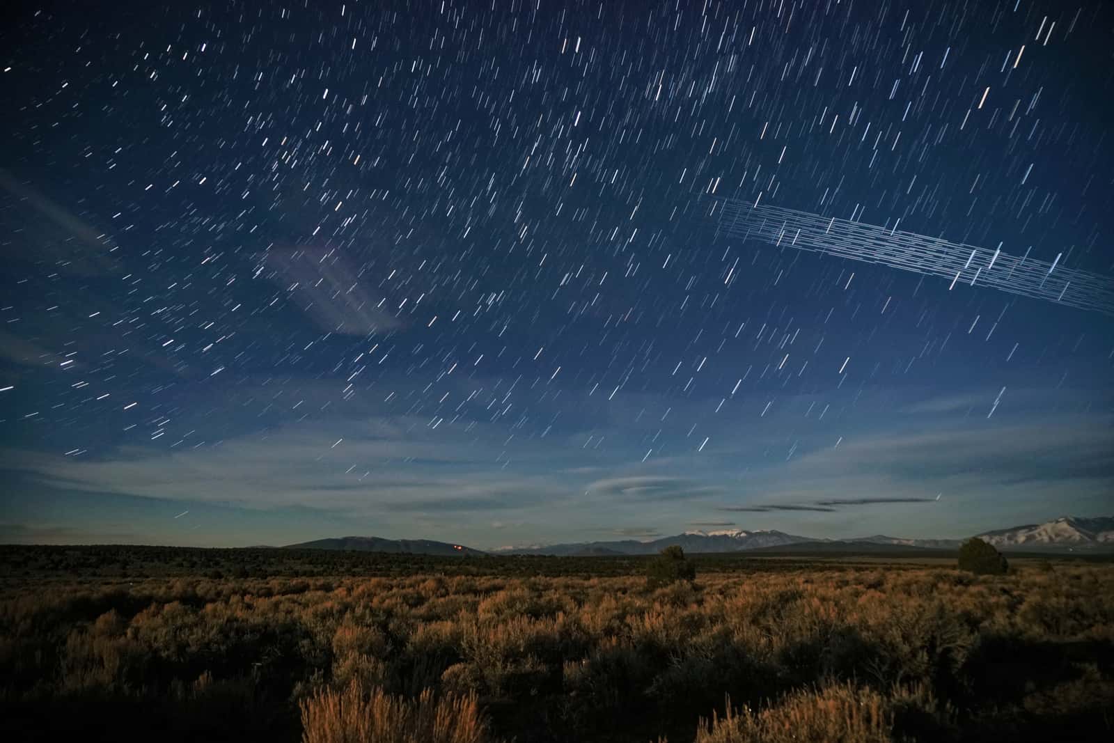
  22. Star trails and a band of parallel satellite streaks over moonlit sagebrush flats and distant snowy peaks

    Photograph

    Trails left by Starlink satellites, in a composite by the photographer. They are not Amazon Leo satellites.

    Credit
    Photo: Mike Lewinski / Flickr (CC BY 2.0)
    Creator
    Mike Lewinski
    License
    CC BY 2.0
    Master
    3200 × 2133 px, plus a phone crop made by us
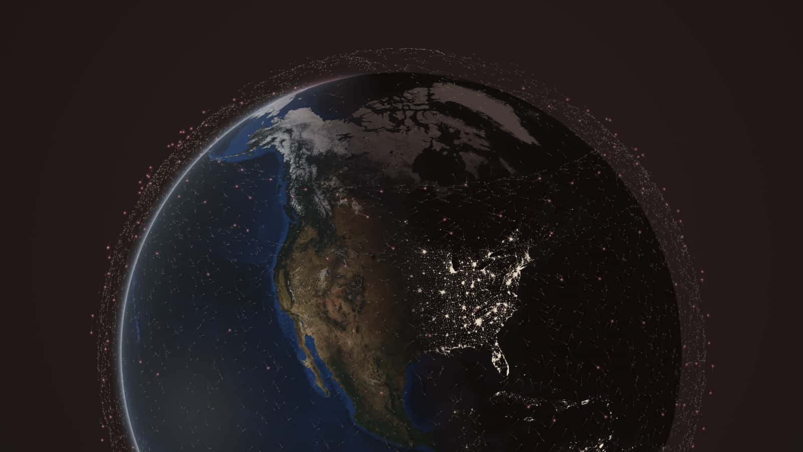
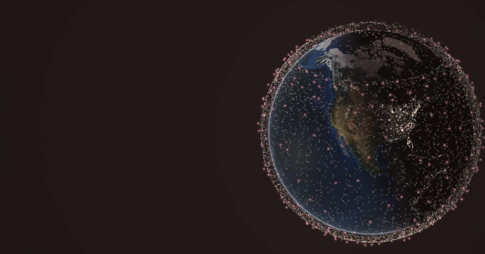
  23. Earth at dusk over North America on the right, ringed by thousands of small satellite points; empty dark warm space on the left.

    Render

    Computed positions of 11,112 Starlink and 391 Amazon Leo satellites at 23:30 UTC on October 25, 2026, from CelesTrak orbital elements. Earth imagery: NASA Blue Marble and Black Marble (public domain).
    Credit
    Render: Starlink vs Leo from CelesTrak data; Earth imagery NASA (public domain)
    Creator
    Starlink vs Leo (render from CelesTrak orbital elements; Earth imagery NASA)
    Master
    2400 × 1260 px
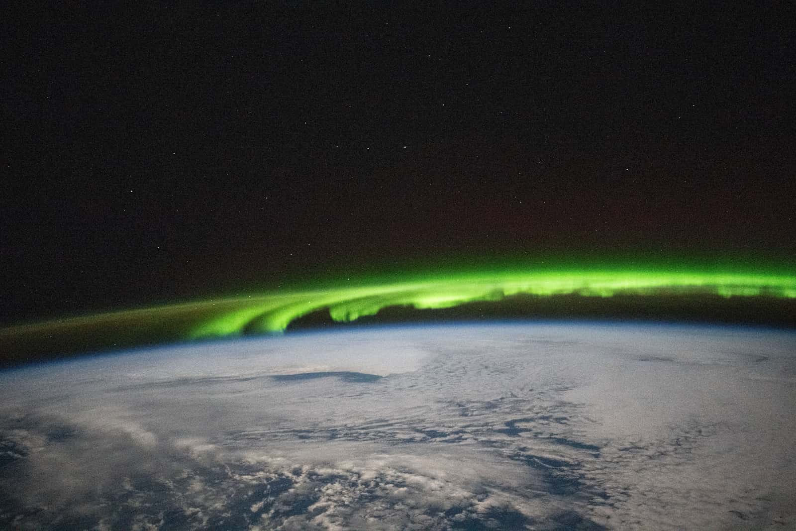
  24. Bright green aurora streaming along Earth's horizon above a cloud-covered ocean, seen from orbit

    Photograph

    Aurora over the North Pacific, south of Alaska's Aleutian Islands, seen from the International Space Station, November 15, 2024.

    Credit
    Photo: NASA (public domain)
    Creator
    NASA (ISS Expedition 72 crew)
    Master
    3200 × 2133 px, plus a phone crop made by us
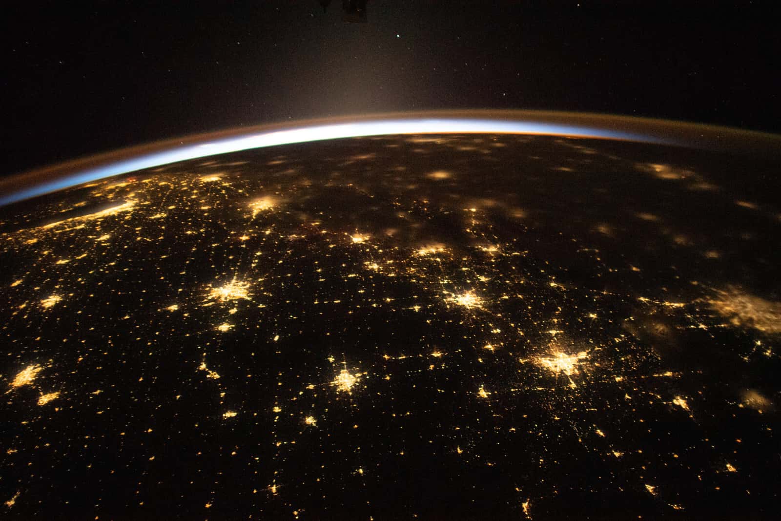
  25. City lights of the central United States at night from orbit, a thin blue band of sunrise along Earth's curve

    Photograph

    Sunrise over the central United States, seen from the International Space Station, November 10, 2023.

    Credit
    Photo: NASA (public domain)
    Creator
    NASA (ISS Expedition 70 crew)
    Master
    3200 × 2133 px, plus a phone crop made by us
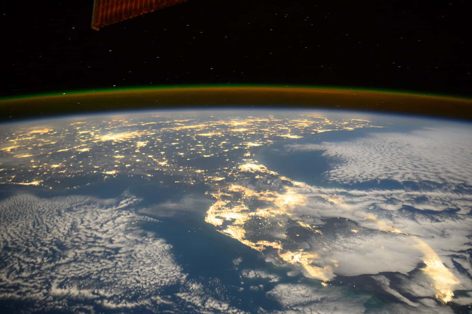
  26. Florida's city lights at night from orbit, moonlit clouds over the Gulf and Atlantic and a green airglow line

    Photograph

    Florida at night from the International Space Station, November 17, 2024.

    Credit
    Photo: NASA / Suni Williams (public domain)
    Creator
    NASA (astronaut Suni Williams)
    Master
    3200 × 2133 px, plus a phone crop made by us
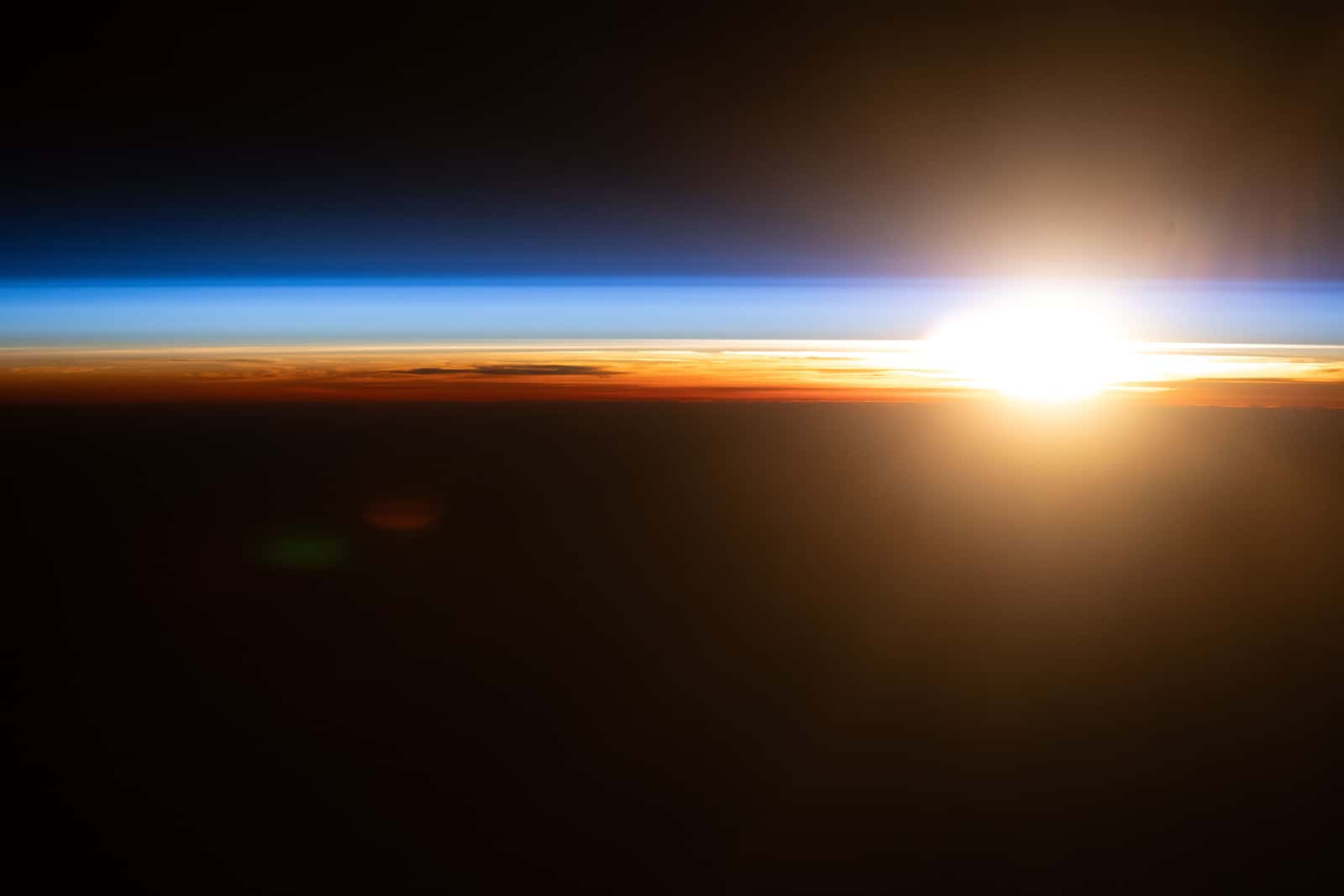
  27. Orbital sunrise flaring on Earth's horizon above thin orange and blue bands of atmosphere

    Photograph

    An orbital sunrise over the Pacific, seen from the International Space Station, July 10, 2026.

    Credit
    Photo: NASA / Jessica Meir (public domain)
    Creator
    NASA/Jessica Meir
    Master
    3200 × 2133 px, plus a phone crop made by us
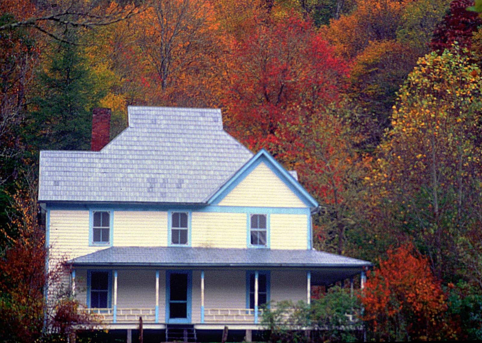
  28. Pale-yellow two-story farmhouse with blue trim and a wide porch against a hillside of bright autumn trees

    Photograph

    Pale-yellow two-story farmhouse with blue trim and a wide porch against a hillside of bright autumn trees

    Credit
    Photo: NPS / National Park Service (public domain)
    Creator
    NPS
    Source
    nps.gov
    Master
    2035 × 1449 px, plus a phone crop made by us
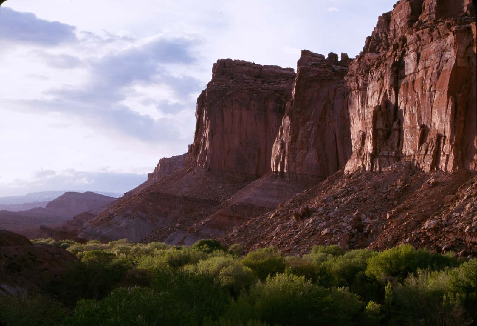
  29. Towering red sandstone cliffs in soft light above a green, tree-filled valley floor under a cloudy sky

    Photograph

    Towering red sandstone cliffs in soft light above a green, tree-filled valley floor under a cloudy sky

    Credit
    Photo: NPS / National Park Service (public domain)
    Creator
    NPS
    Source
    nps.gov
    Master
    3200 × 2183 px, plus a phone crop made by us
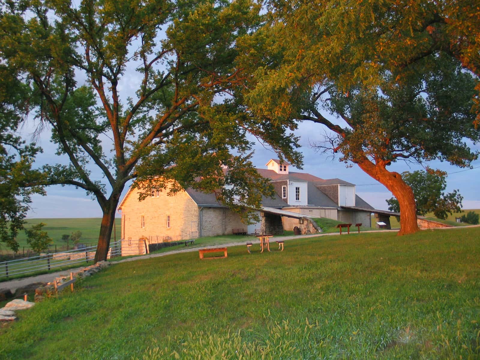
  30. Golden evening light on a large limestone ranch barn framed by two spreading trees, open prairie hills beyond

    Photograph

    Golden evening light on a large limestone ranch barn framed by two spreading trees, open prairie hills beyond

    Credit
    Photo: NPS Photo / National Park Service (public domain)
    Creator
    NPS Photo
    Source
    nps.gov
    Master
    2667 × 2000 px, plus a phone crop made by us
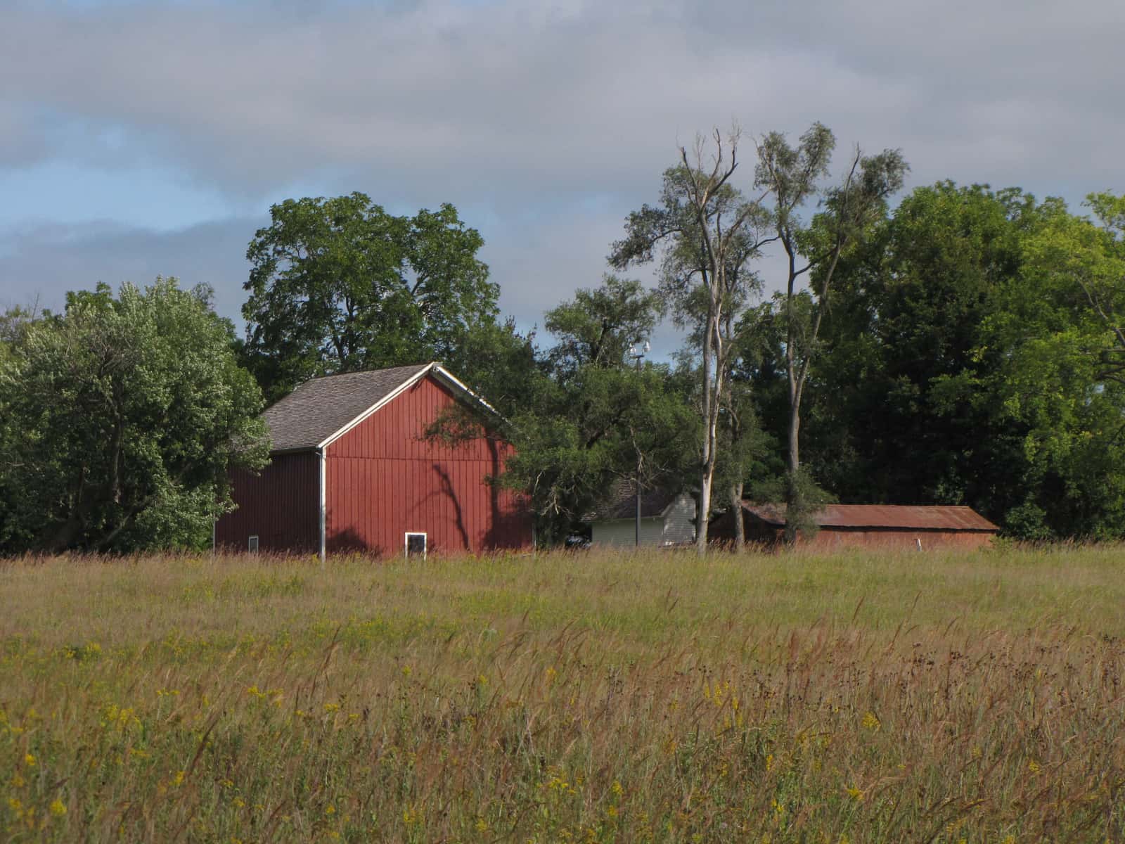
  31. Red barn and farm buildings among tall trees beyond a field of tallgrass prairie and yellow wildflowers

    Photograph

    Red barn and farm buildings among tall trees beyond a field of tallgrass prairie and yellow wildflowers

    Credit
    Photo: NPS Photo / National Park Service (public domain)
    Creator
    NPS Photo
    Source
    nps.gov
    Master
    3200 × 2400 px, plus a phone crop made by us
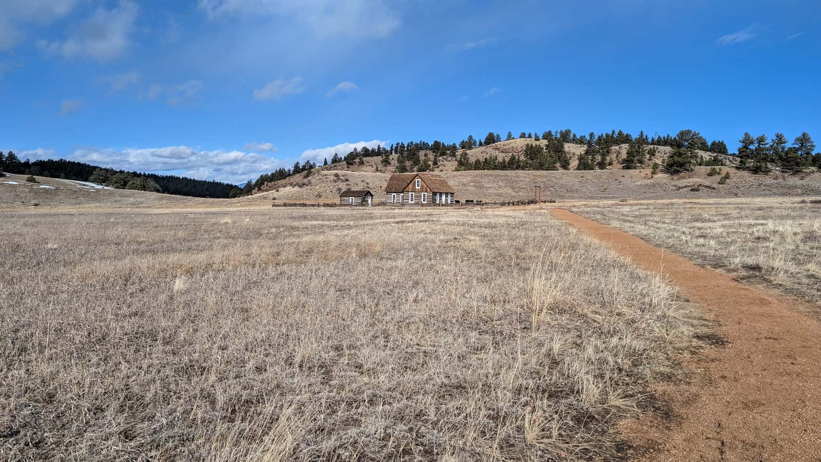
  32. Dirt path across a wide valley of dry grass toward a small log homestead below pine-dotted hills and a big blue sky

    Photograph

    Dirt path across a wide valley of dry grass toward a small log homestead below pine-dotted hills and a big blue sky

    Credit
    Photo: NPS staff / Peterson / National Park Service (public domain)
    Creator
    NPS staff / Peterson
    Source
    nps.gov
    Master
    3200 × 1800 px, plus a phone crop made by us
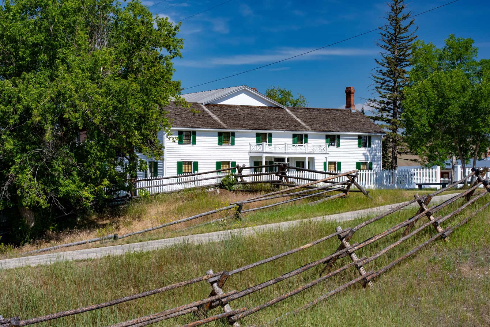
  33. Long white two-story ranch house with green shutters behind weathered rail fences and trees under a blue sky

    Photograph

    Long white two-story ranch house with green shutters behind weathered rail fences and trees under a blue sky

    Credit
    Photo: M. Surber / National Park Service (public domain)
    Creator
    NPS / M. Surber
    Source
    nps.gov
    Master
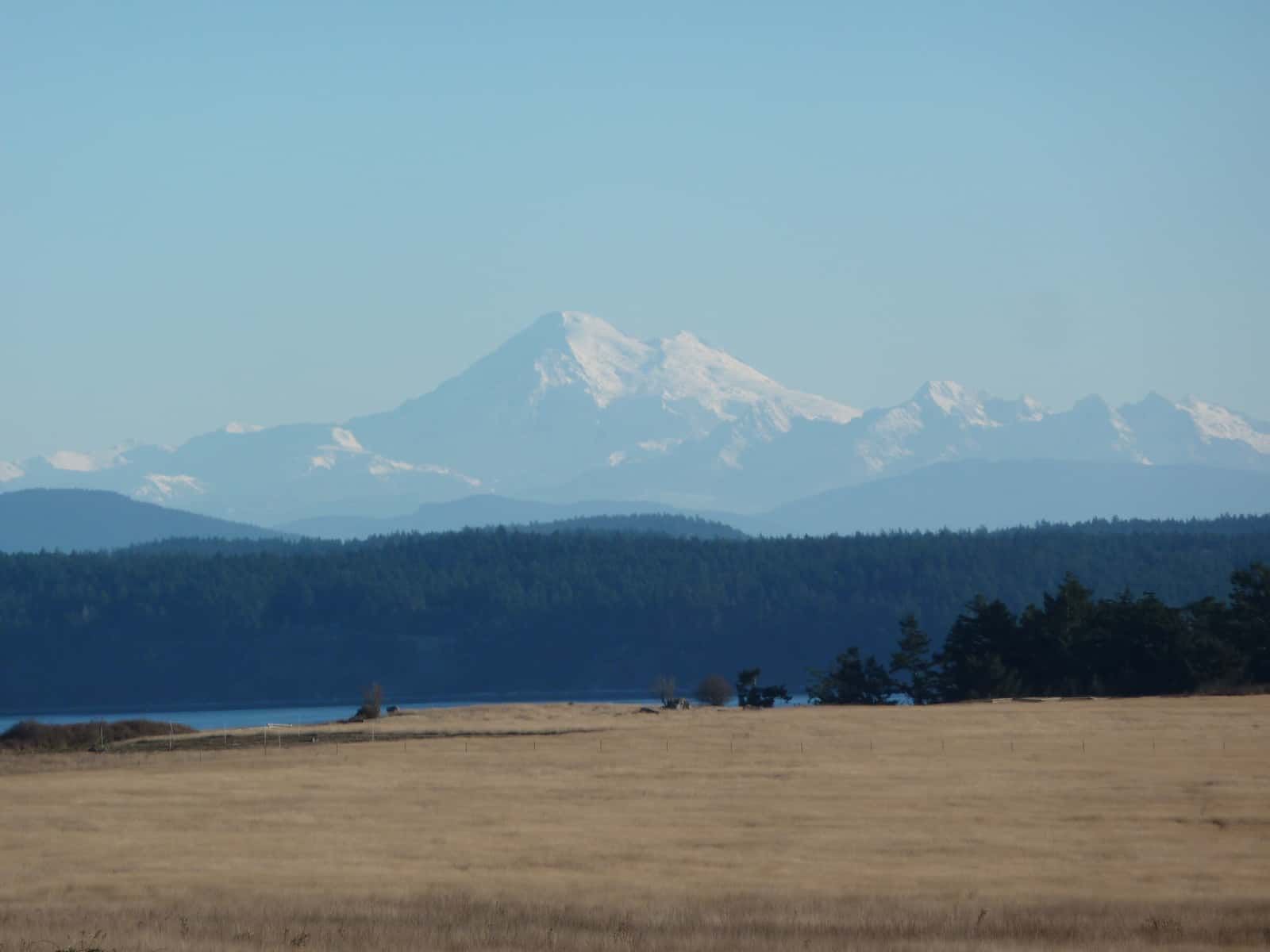
    3200 × 2133 px, plus a phone crop made by us
  34. Tawny grass prairie and dark conifer forest with a snow-capped volcano rising in the hazy distance

    Photograph

    Tawny grass prairie and dark conifer forest with a snow-capped volcano rising in the hazy distance

    Credit
    Photo: NPS / National Park Service (public domain)
    Creator
    NPS
    Source
    nps.gov
    Master
    3200 × 2400 px, plus a phone crop made by us
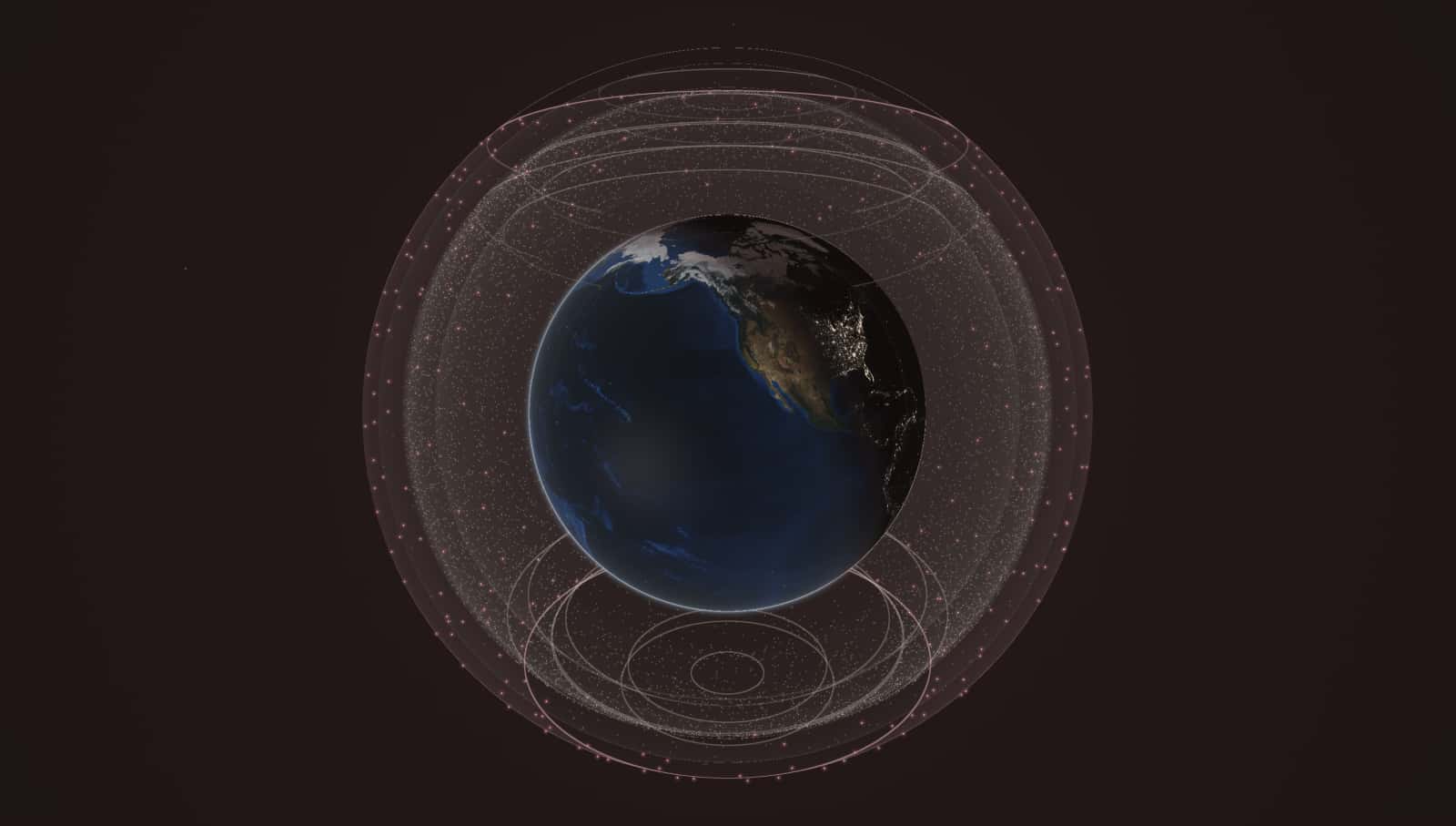
  35. Schematic globe with nested translucent bands around it. The outermost, rose band is narrow and stops at about 52 degrees north and south (Amazon Leo). Inside it, several stone-colored bands reach 43, 53, 70 and about 83 degrees, the last one covering almost the whole globe (Starlink).

    Render

    Orbital shells in use at 23:30 UTC on October 25, 2026, computed from CelesTrak orbital elements. Altitudes exaggerated 8x; inclinations to scale. Earth imagery: NASA Blue Marble and Black Marble (public domain).
    Credit
    Render: Starlink vs Leo from CelesTrak data; Earth imagery NASA (public domain)
    Creator
    Starlink vs Leo (render from CelesTrak orbital elements; Earth imagery NASA)
    Master
    3000 × 1700 px

How these facts were checked

Each license was read on the source page linked below when the image was added. Images are stored on this site; nothing is hotlinked.